Level 2 and Level 3 Aoraki Mount Cook Geography Trip
By Leah Olsen | Posted: Sunday May 24, 2026
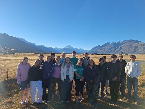
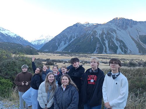
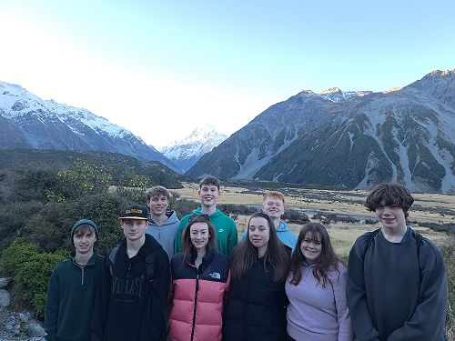
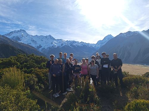
There is no better way to learn about glaciation than by standing beside a glacier itself, and that is exactly what the Year 12 and 13 Geography students did during their trip to Aoraki/Mount Cook.
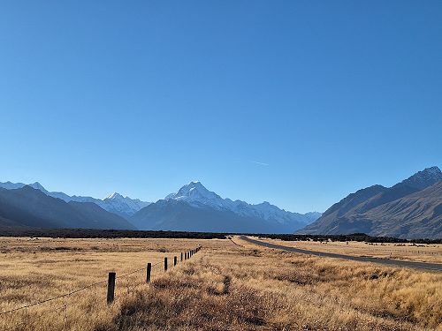
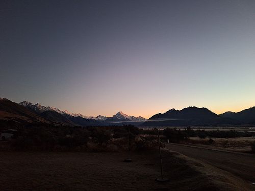
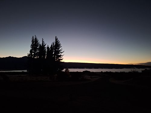
From the 17th to the 19th of May, the joint Year 12 and 13 Geography class travelled to Aoraki Mount Cook. We started off our day bright and early at 8:30 am, travelling for around five hours to our accommodation at Glentanner. Along the way we stopped at a couple of key geographical locations.
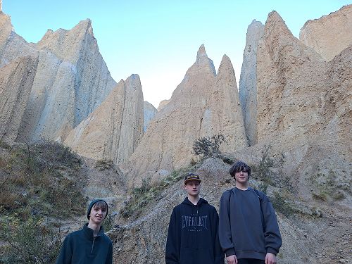
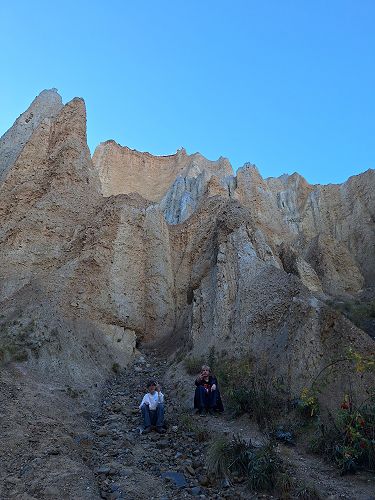
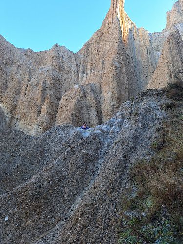
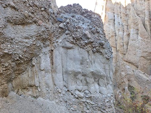
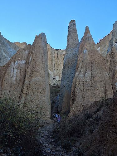
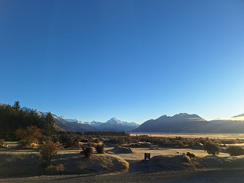
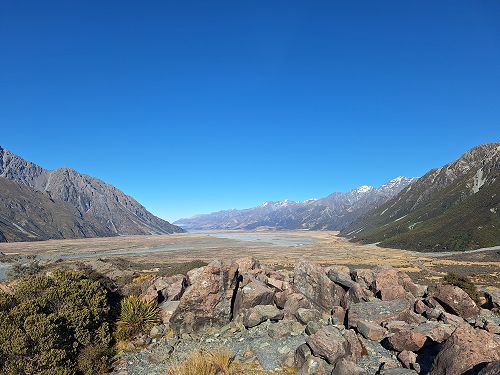
Our first stop was about 10 minutes out of Omarama, the Clay Cliffs. At these cliffs we were able to see many geographical features such as the Clay Cliffs themselves, the Mackenzie Basin and a braided river. Here, despite Mr Waterworth advising us otherwise, we were able to climb up some of the smaller cliffs creating some awesome photos. From here, we drove to Aoraki Mount Cook. At a wonderful high of 10 degrees, it is safe to say that we were all a little bit chilly but we quickly warmed up after doing a short walk around the village. We then arrived at the accommodation, had dinner and went to bed.
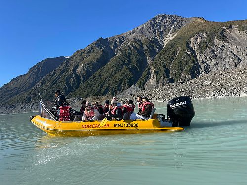
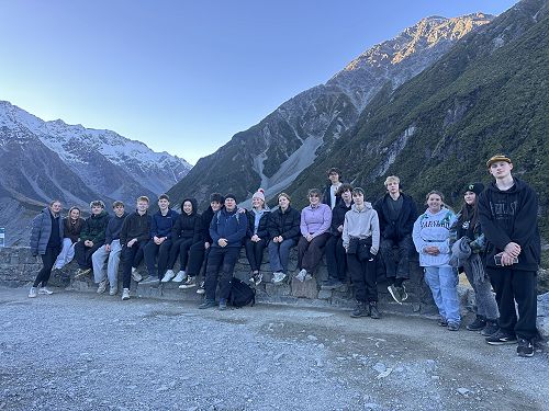
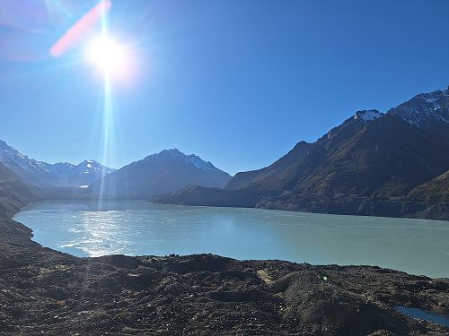
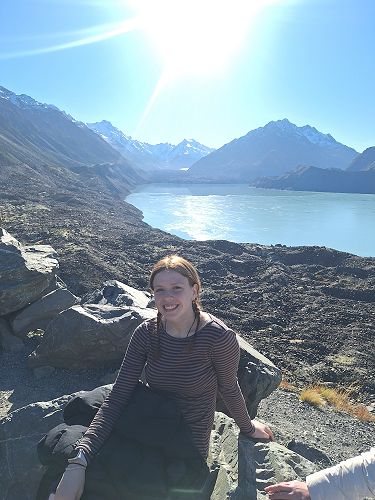
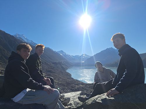
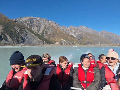
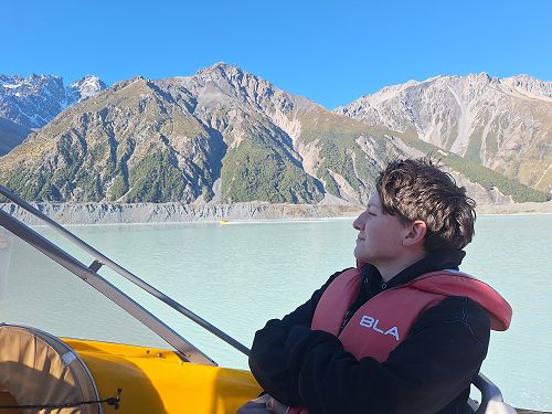
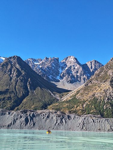
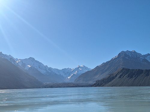
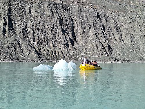
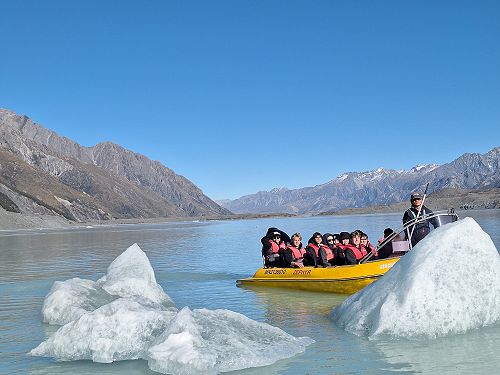
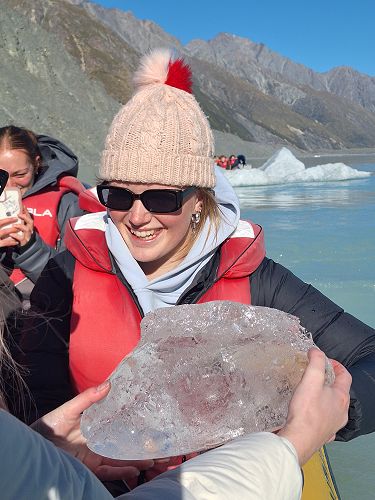
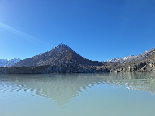
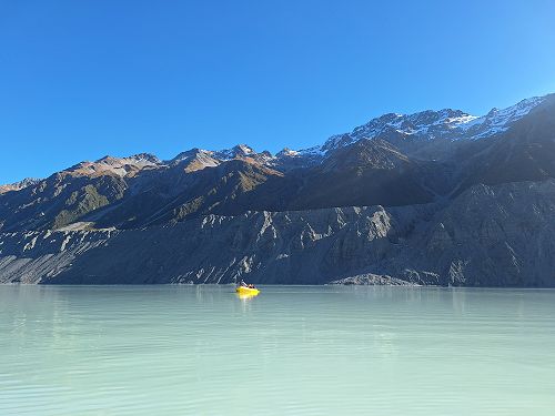
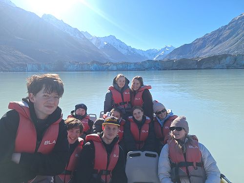
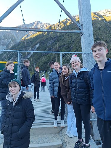
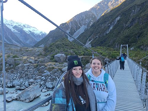
We started the next day by making our way back to the village where we were greeted by Lisa, a Department of Conservation educator who taught us a lot about the history of Mount Cook, the geography behind the structure and relief we see today and more importantly the glaciers and process of glaciation in the Aoraki Mount Cook region (which will prove incredibly useful for our external that focuses on glaciation). To go alongside this, we then walked to the Tasman Glacier Lake (which was frozen over) to go on the Glacier Explorer boat. We smashed through the ice, approaching many icebergs and the Tasman Glacier itself. We finished up the day by going on the Hooker Valley walk, which unfortunately we could not fully complete due to repairs to one of the swing bridges, however, it was beautiful nonetheless with some perfect geographical features such as a scree slope.
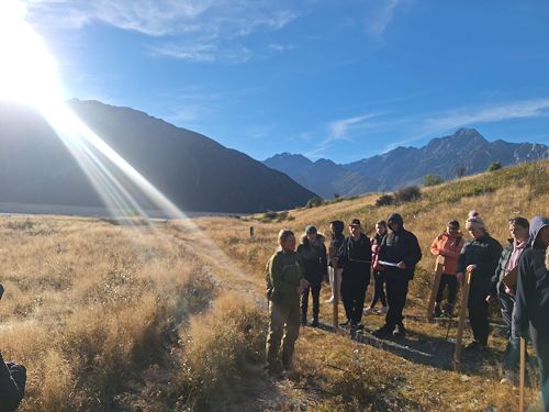
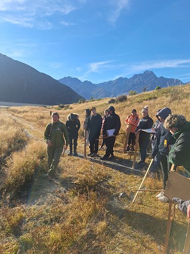
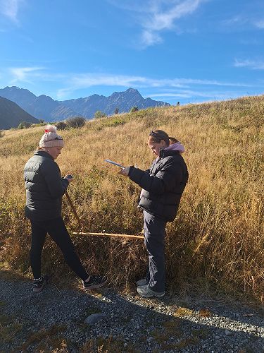
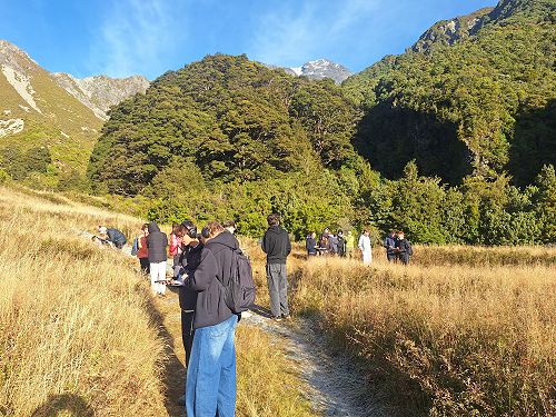
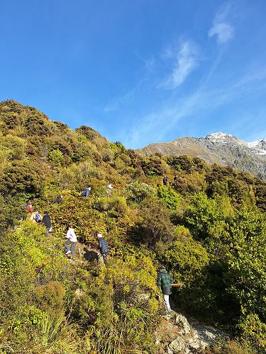
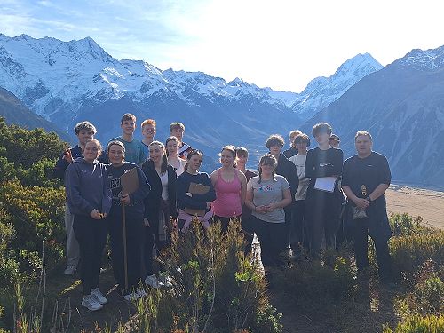
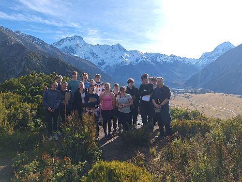
We finished our last day by travelling once again to the village, meeting Lisa and starting our data collection along the Red Tarns track. We stopped at five different sites with varying altitude and vegetation to collect data for our internal. Over this walk we climbed 1277 stairs finishing at an altitude of 1024 m (2700 m below the summit of Aoraki Mount cook). While definitely a challenge, this walk had some amazing views and proved rewarding. We then ate lunch and traveled back to Dunedin. The data we collected here included altitude, vegetation (density, type and height), soil type and site description.
This trip has been a truly amazing and memorable experience in which we were able to experience geography outside of the classroom, with one of the students seeing snow for the first time! One of my personal favorite memories from this trip would have to be drinking water and eating ice out of the Glacier Lake as well as our failed attempt at spraying the other half of our group with water from our boat. The information that we learnt and collected from this trip will be used for our upcoming research internal and our natural processes external.
Thank you to everyone who made this trip possible, with a special thanks to Mr Waterworth and Mrs de Vos!
Image Gallery